June 15, 2026/
No Comments
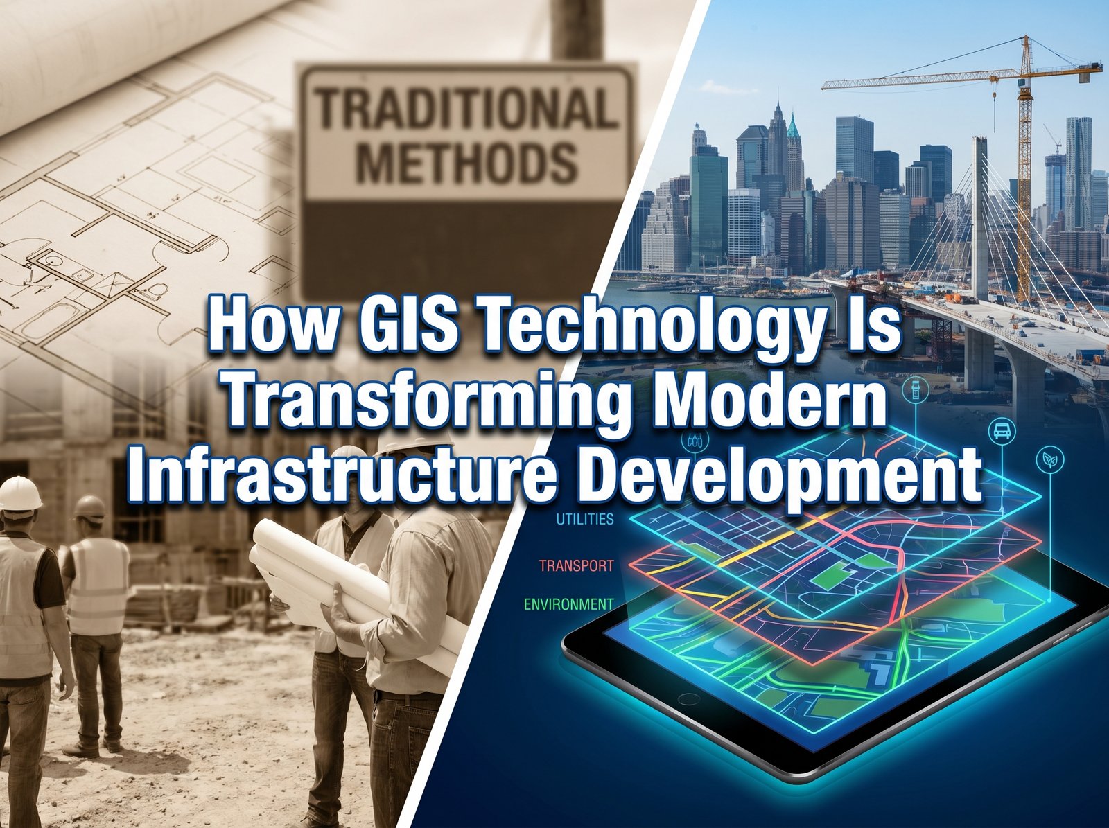
Discover how Geographic Information Systems (GIS) are revolutionizing infrastructure planning, project management, and decision-making through accurate spatial data and real-time insights.
Discover how Geographic Information Systems (GIS) are revolutionizing infrastructure planning, project management, and decision-making through accurate spatial data and real-time insights.
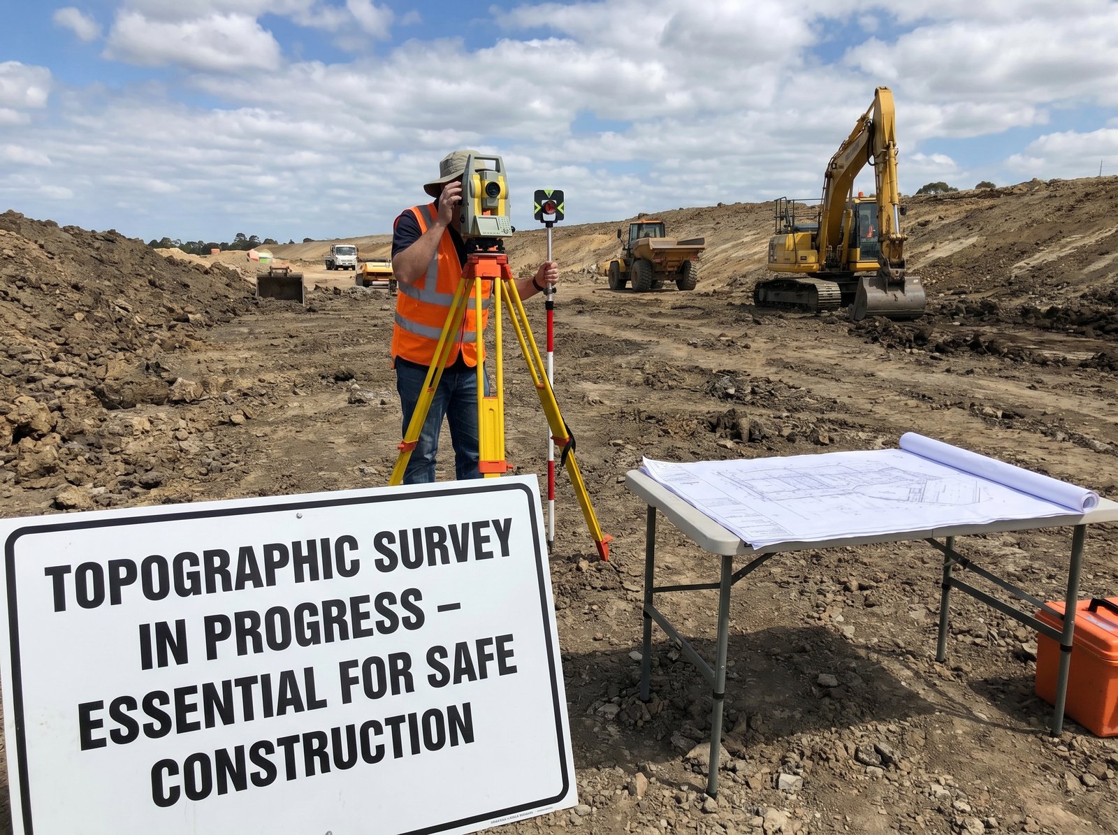
Learn why topographic surveys are crucial for construction planning, engineering design, cost estimation, drainage management, and project success.
Automate spatial data solutions using international best practices in the Geospatial Services Industry. ...Serving the Geospatial Service Provider.