We remain committed to continuous software improvement, ensuring we meet evolving industry standards and specialized client requirements.
Project Done
0k+
Team Member
0
Year in Business
0+
Customer-CentricApproach
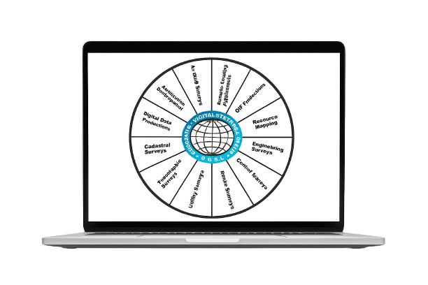
Geospatial Digital Systems Limited (GDSL) is a specialist company focused on the digital processing of geospatial data. Our expertise spans map data conversion, spatial database design, survey data processing, GIS/LIS development, and plan/map generation from coordinate data.
At the heart of our operation is GeoSol, our proprietary geo-processing software, which ensures data accuracy using industry-standard quality assessment methods. From initial data capture to final production, our software is designed to minimize human error and deliver highly accurate results.
Founded to consolidate the strengths of Amusum Integrated Services Ltd (AISL) and MapIT Consultants Ltd (MCL), GDSL has grown into a trusted provider of advanced geospatial services. Our history of consistent quality, innovation, and customer-focused delivery sets us apart in Nigeria’s geospatial industry.
Our dedicated team, led by Surv. Dr. Julius B. M. Sambo, Ph.D.(RS/GIS), MNIS, MCPN, includes skilled cartographers, data processors, and software operators— working six days a week to meet diverse client needs with precision and efficiency.
We remain committed to continuous software improvement, ensuring we meet evolving industry standards and specialized client requirements.