
Every successful construction project begins with a thorough understanding of the land on which it will be built. Whether you’re developing a residential estate, commercial complex, industrial facility, highway, or utility infrastructure, accurate site information is critical to project success.
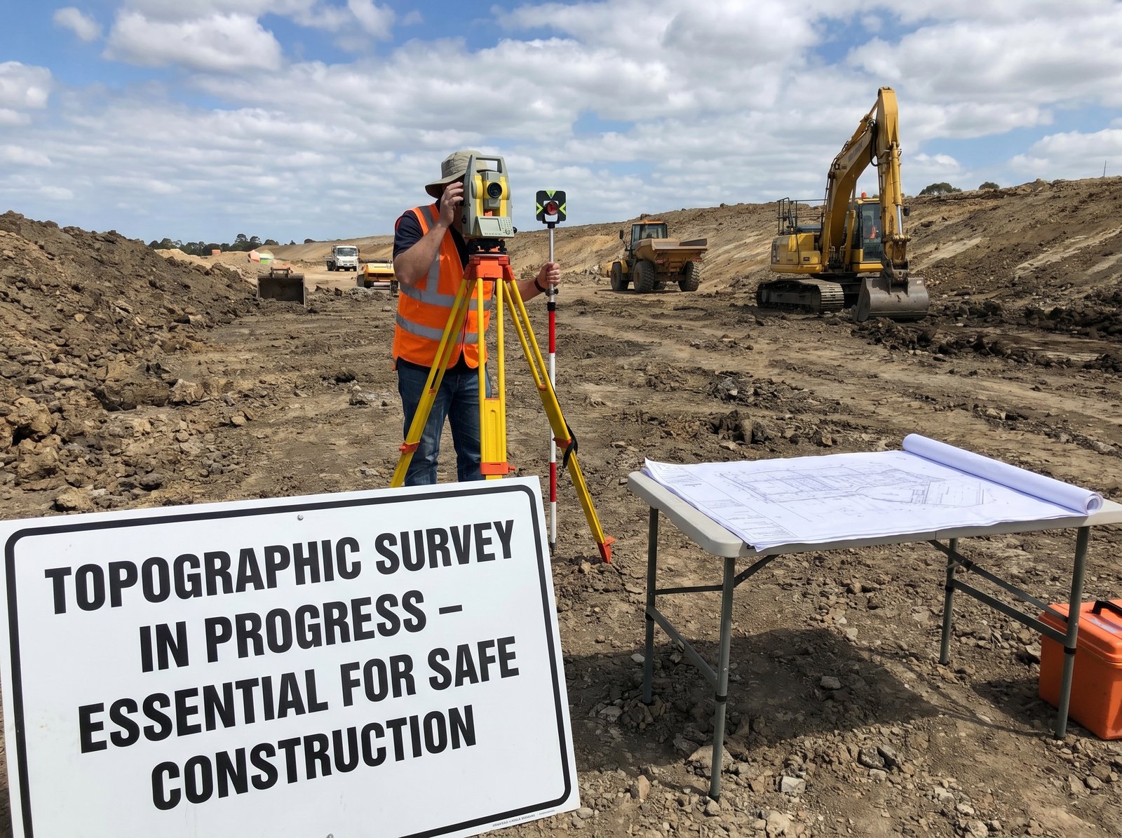
One of the most important steps in pre-construction planning is conducting a topographic survey. A topographic survey provides detailed information about the natural and man-made features of a site, helping engineers, architects, developers, and contractors make informed decisions before construction begins.
Failing to conduct a proper topographic survey can lead to costly design errors, construction delays, safety risks, and budget overruns. In this article, we’ll explore why topographic surveys are essential and how they contribute to successful project delivery.
What Is a Topographic Survey?
A topographic survey is a detailed mapping process that captures the physical characteristics of a piece of land. It records both natural and artificial features, including:
- Ground elevations and contours
- Hills, slopes, and depressions
- Trees and vegetation
- Rivers, streams, and drainage systems
- Roads and access routes
- Buildings and structures
- Utility lines and infrastructure
- Fences and boundary features
The collected data is used to create accurate topographic maps and digital terrain models that provide a clear representation of site conditions.
Why Topographic Surveys Matter in Construction
1. Accurate Site Understanding
Before architects and engineers can design a project, they must understand the site’s terrain and existing conditions.
A topographic survey reveals:
- Elevation changes across the site
- Areas prone to flooding
- Natural drainage patterns
- Potential construction challenges
This information allows project teams to develop designs that work with the landscape rather than against it.
2. Better Project Design
Designing without accurate site data often results in costly revisions during construction.
Topographic surveys provide essential information for:
- Building placement
- Road alignment
- Drainage design
- Utility routing
- Landscaping plans
With accurate survey data, designers can optimize layouts and reduce unforeseen complications.
3. Improved Cost Estimation
Construction budgets depend heavily on site conditions.
A topographic survey helps estimate:
- Earthworks requirements
- Excavation volumes
- Filling needs
- Drainage infrastructure costs
- Site preparation expenses
By identifying these factors early, developers can prepare more accurate budgets and avoid unexpected costs.
4. Enhanced Drainage and Flood Management
Poor drainage is one of the leading causes of construction and infrastructure failures.
Topographic surveys provide detailed elevation information that enables engineers to:
- Design effective drainage systems
- Prevent water accumulation
- Minimize erosion risks
- Reduce flood-related damage
This is particularly important for large-scale developments and infrastructure projects.
5. Regulatory Compliance and Approvals
Many planning authorities and regulatory agencies require topographic survey data before approving construction projects.
Survey information is often needed for:
- Building permits
- Environmental assessments
- Site development approvals
- Infrastructure planning applications
Providing accurate survey documentation helps streamline the approval process and reduces delays.
6. Identifying Existing Utilities and Structures
Construction projects often encounter existing infrastructure that must be considered during design and execution.
A comprehensive topographic survey identifies:
- Utility corridors
- Existing buildings
- Road networks
- Drainage systems
- Property improvements
This reduces the risk of damaging critical infrastructure during construction.
The Role of Modern Surveying Technology
Today’s topographic surveys are more accurate and efficient than ever before thanks to advanced technologies such as:
GPS and GNSS Systems
High-precision positioning systems provide accurate coordinate data for large and complex sites.
Drone Surveys
Unmanned aerial vehicles (UAVs) can quickly capture high-resolution imagery and terrain data across extensive areas.
Remote Sensing Technologies
Satellite imagery and aerial data collection provide valuable information for large-scale projects and environmental assessments.
Geographic Information Systems (GIS)
GIS platforms enable survey data to be analyzed, visualized, and integrated into broader project planning and management systems.
These technologies improve data accuracy while reducing survey time and project costs.
Industries That Depend on Topographic Surveys
Topographic surveys are critical across a wide range of sectors, including:
Real Estate Development
Developers use survey data to plan residential, commercial, and mixed-use projects efficiently.
Civil Engineering
Roads, bridges, airports, railways, and public infrastructure projects require accurate terrain information.
Mining and Resource Exploration
Survey data helps identify terrain conditions and supports operational planning.
Utilities and Energy
Power transmission lines, pipelines, telecommunications networks, and water systems rely on topographic information for route design and construction.
Environmental Management
Topographic surveys support environmental studies, watershed analysis, and conservation planning.
Common Risks of Skipping a Topographic Survey
Organizations that proceed without a professional topographic survey often face:
- Design inaccuracies
- Unexpected site conditions
- Construction delays
- Increased project costs
- Drainage problems
- Regulatory compliance issues
- Safety concerns
Investing in a survey at the beginning of a project is significantly less expensive than correcting problems later.
Choosing the Right Survey Partner
When selecting a surveying company, look for a provider with:
- Experienced survey professionals
- Modern survey equipment
- GIS and mapping capabilities
- Proven project experience
- Digital data delivery solutions
- Commitment to accuracy and quality
An experienced survey team can provide the reliable data needed for successful project planning and execution.
Conclusion
Topographic surveys provide the foundation for effective construction planning, engineering design, and infrastructure development. By delivering accurate information about site conditions, they help reduce risks, improve project efficiency, and support better decision-making throughout the project lifecycle.
Whether you’re planning a residential development, commercial project, transportation network, or utility infrastructure, a professional topographic survey is one of the smartest investments you can make before construction begins.
Start Your Project with Confidence
Our team provides accurate topographic surveys, engineering surveys, GIS solutions, remote sensing services, and digital mapping solutions to support projects of all sizes. Contact us today to discuss your survey requirements and ensure your project starts on a solid foundation.
1 Comment
This is a great information.
Thank you for this post. 👍