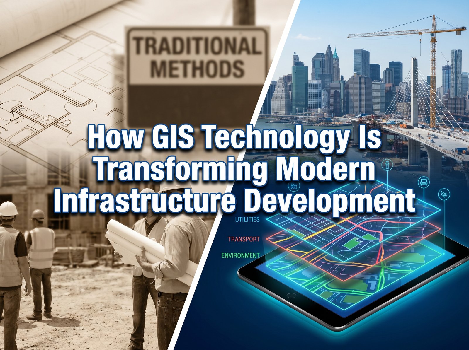
Infrastructure projects are becoming increasingly complex, requiring accurate data, efficient planning, and informed decision-making. From highways and rail networks to urban developments and utility systems, stakeholders need reliable geographic information to ensure successful project delivery.
This is where Geographic Information Systems (GIS) have become indispensable. GIS technology enables organizations to collect, analyze, visualize, and manage spatial data, providing valuable insights throughout the entire project lifecycle. As governments and private organizations invest heavily in infrastructure development, GIS continues to play a critical role in improving efficiency, reducing risks, and optimizing resources.
What Is GIS Technology?
Geographic Information Systems (GIS) are computer-based systems designed to capture, store, analyze, and visualize location-based data. GIS integrates geographic information with attribute data, allowing users to understand patterns, relationships, and trends that may not be visible through traditional data analysis methods.
By combining maps, satellite imagery, survey data, and databases, GIS creates a powerful platform for informed decision-making across various industries.
How GIS Supports Infrastructure Development
1. Improved Site Selection and Planning
Selecting the right location is one of the most important stages of any infrastructure project. GIS allows planners to evaluate multiple factors simultaneously, including:
- Land use patterns
- Population distribution
- Environmental constraints
- Existing infrastructure
- Accessibility and transportation networks
This comprehensive analysis helps project teams identify the most suitable sites while minimizing environmental and financial risks.
2. Enhanced Surveying and Mapping
Accurate surveying forms the foundation of successful infrastructure development. GIS integrates seamlessly with data collected from engineering surveys, topographic surveys, remote sensing technologies, and GPS systems.
The result is highly accurate mapping that supports:
- Design and engineering activities
- Land acquisition processes
- Construction planning
- Resource allocation
GIS ensures that project stakeholders work with reliable and up-to-date spatial information.
3. Better Asset Management
Infrastructure assets require ongoing monitoring and maintenance after construction. GIS enables organizations to maintain detailed records of roads, bridges, utility networks, pipelines, and public facilities.
Benefits include:
- Faster maintenance scheduling
- Improved asset tracking
- Reduced operational costs
- Enhanced service delivery
With GIS, infrastructure managers can quickly identify issues and prioritize maintenance activities before they become costly problems.
4. Efficient Utility Network Management
Utility companies rely heavily on GIS for managing water, electricity, telecommunications, and gas networks.
GIS helps organizations:
- Map utility infrastructure accurately
- Identify network vulnerabilities
- Plan expansions efficiently
- Respond quickly to outages and emergencies
This improves reliability while reducing downtime and operational disruptions.
5. Supporting Smart City Initiatives
Modern cities are increasingly adopting smart technologies to improve urban living. GIS serves as the backbone of many smart city projects by integrating spatial data from multiple sources.
Applications include:
- Traffic management
- Urban planning
- Public safety systems
- Environmental monitoring
- Emergency response coordination
By providing real-time geographic intelligence, GIS helps cities operate more efficiently and sustainably.
The Role of GIS in Sustainable Development
Sustainability is becoming a major priority for infrastructure projects worldwide. GIS enables planners and decision-makers to assess environmental impacts before construction begins.
Using GIS, organizations can:
- Protect sensitive ecosystems
- Monitor environmental changes
- Optimize resource utilization
- Reduce project-related environmental risks
This data-driven approach supports responsible development while ensuring long-term project viability.
Future Trends in GIS and Infrastructure Development
The future of GIS is being shaped by emerging technologies such as:
- Artificial Intelligence (AI)
- Machine Learning
- Remote Sensing
- Internet of Things (IoT)
- Digital Twins
- Cloud-Based GIS Platforms
These innovations are making geospatial intelligence more accessible, accurate, and actionable than ever before. Organizations that embrace GIS technology will be better positioned to deliver infrastructure projects on time, within budget, and with greater operational efficiency.
Conclusion
GIS technology has transformed the way infrastructure projects are planned, designed, constructed, and managed. By providing powerful spatial analysis capabilities, GIS helps organizations make informed decisions, reduce risks, improve operational efficiency, and support sustainable development.
As infrastructure demands continue to grow, GIS will remain a vital tool for governments, engineering firms, utility providers, and developers seeking to build smarter, more resilient communities.
Need Expert GIS Solutions?
Whether you require GIS production, resource mapping, engineering surveys, remote sensing applications, or digital data management services, our team delivers accurate geospatial solutions tailored to your project requirements.
Contact us today to discuss how GIS technology can support your next infrastructure project.