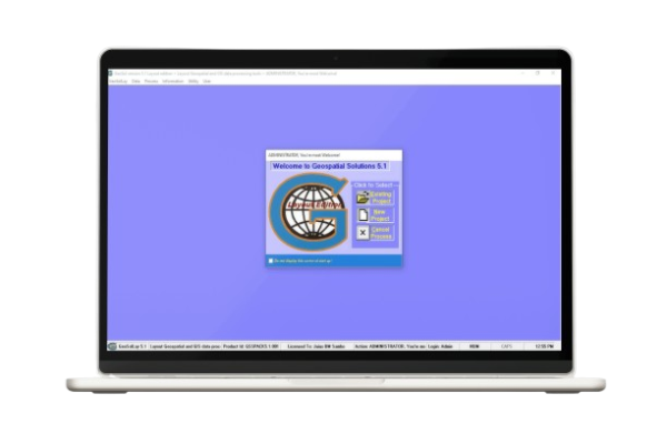
GeoSolLay is a comprehensive land parcel layout processing solution that transforms survey input or planner’s graphics into actionable products. Perfect for Urban and Regional products conversion.
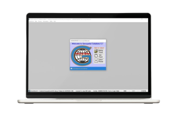
GeoSolCad specializes in layout data processing with standard map sheet production template. It streamlines the creation of professional cadastral maps and survey plans for cadastral layouts.
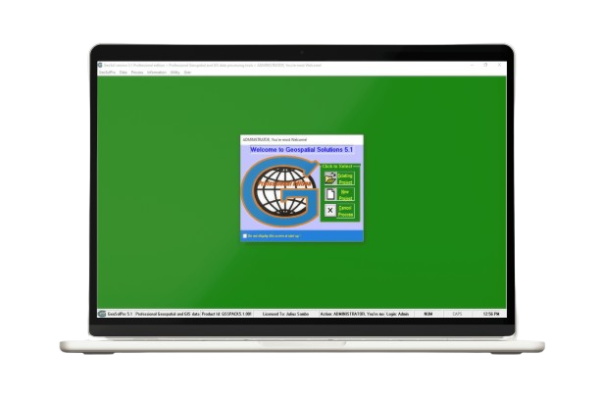
GeoSolPro is a professional-grade solution for cadastral, details, perimeter, and topographic surveys. It offers comprehensive tools for most survey data processing and visualization, including spot heights, contours and digital terrain models (DTM).
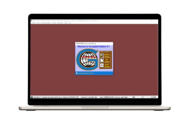
GeoSolEnt is an enterprise-level solution for GeoSolPro and includes land administration services like land titling and registration. It provides a complete GIS-enabled platform for managing land records and spatial data at scale.
GeoSolFEx is for image processing and feature extraction (digitization) solution. It is designed to extract two-dimensional (2D) coordinates of point, linear and area features onto relational tabular files on disk. Images can be satellite, aerial or scanned drawings/maps.
GeoSolCap is an application designed and being developed for field survey data capture solution. It is structured to run on Android device linked to survey instruments using Bluetooth for real-time data capture.
Windows 10/11, 8GB RAM, 2GB storage, 1920x1080 display
SHP, DWG, TXT, SCR and other proprietary GeoSol formats
Compatible with AutoCAD, QGIS, ArcGIS and other GeoSol products